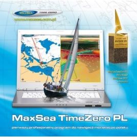
Wszystko do morskiej nawigacji elektronicznej w jednym miejscu
Wszystko do morskiej nawigacji elektronicznej w jednym miejscu

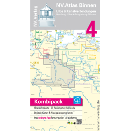
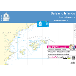
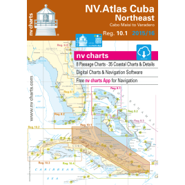
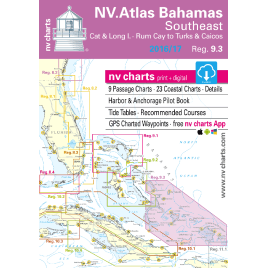
Wysokiej jakości mapa rastrowa przeznaczona dla żeglarzy.
 Polityka prywatności - Przeczytaj naszą politykę prywatności
 Dostawa - Przeczytaj warunki dostawy
 Zwroty - Przeczytaj warunki zwrotu towaru
Mapa rastrowa NV.Verlag. Może być używana z programem Tiki Navigator Pro lub Chart Navigator Standard. Mapa dostarczana na płycie DVD z programem Chart Navigator Light posiadającym następującą funkcjonalność: Umożliwia podłączenie GPS i wyświetla pozycje na mapie Czyta mapy formatu nv.digital i BSB Pozwala na planowanie trasy Umożliwia drukowanie mapy Wyszukuje miejsca na mapie według nazwy
Specyficzne kody
Brak ocen
Wysokiej jakości mapa rastrowa przeznaczona dla żeglarzy.